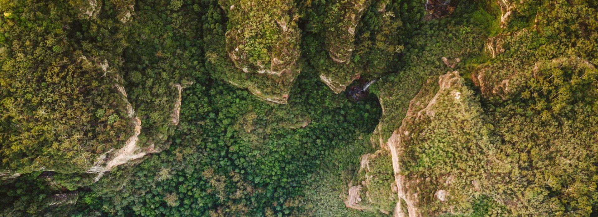
Whilst navigation and human movement are important features of the ABM for accurate agent behaviour, an equally important part is developing the underlying environment which the agents interact with. The goal of the model is to have multiple uses, including finding the best (most human-friendly) route between points and determining location through the prediction of movement. This goal requires relevant terrain data, including features involved in human navigation within the environment for the agents to be able to interact with. These terrain features include difficult terrain that may affect locomotion, natural features that cause a funnelling effect or barrier, dangerous track elements or cliffs and drop-offs, notable landmarks and track junctions that can cause confusion or lead to shortcutting.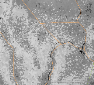
Accurately representing these terrain features will allow the wayfinding strategies and locomotion movement outlined in the previous two parts of this project to be accurately modelled within the ABM.
A combination of high-resolution satellite imagery and publicly available spatial data will be used to determine natural features for inclusion in the model's environment. A machine learning algorithm will be explored to use ground-truthed features determined through initial spatial analysis to identify additional features with similar physical characteristics that can be included in the model. These features will be both raster data and vector data. Additionally, the process for determining features needs to be automated and repeatable for any area in which the model may be focused. The goal of this part of the study is the spatial identification of terrain features affecting human movement, which will be incorporated later in the project into the ABM.