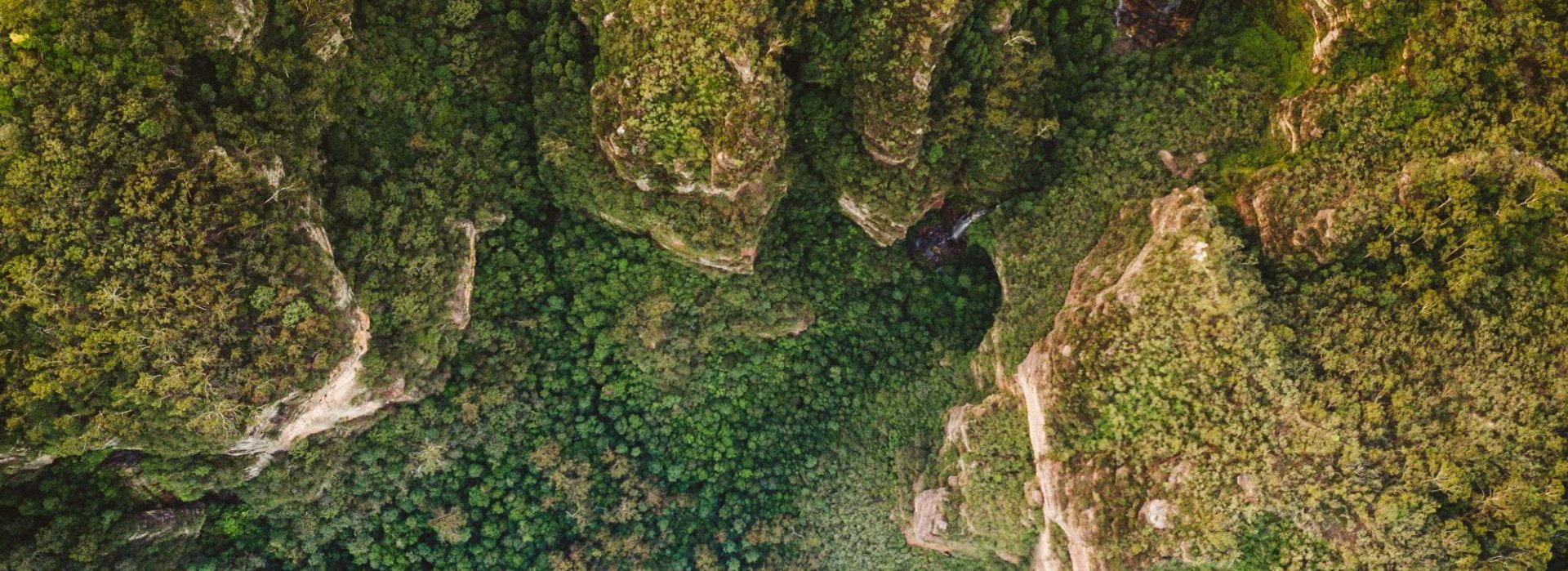
In order to fill gaps, validate the information obtained from a review of human navigation literature, and collect and analyse data that will later be used in the model, GPS data will be collected and analysed. Much of the research explored in the literature review looks at wayfinding and navigation behaviour within urban settings, indoors or in virtual reality.
This part of the project will build on the literature reviewed, incorporating much of the learning from previous research into different types of human navigation and movement behaviour and testing some of the wayfinding strategies and theories in a wilderness environment. The specific behaviours and navigation strategies determined in part one will be explored in different terrain and compared using real-world data.
This project will include two data collection elements. The first data will be an online GPS track data collection. Details about the participants will be collected, including demographic information, wilderness experience, physical condition and self-reported navigation abilities. Participants will also be invited to submit any historical GPS tracks they have collected during suitable wilderness activities with additional details such as where they were going, what they had planned to do in the wilderness and any terrain issues or problems that made them change their plans.
Photo by Denise Jans on Unsplash
After registration, the participants will submit their intended track prior to a wilderness activity during the data collection period and then, following the activity, complete a second survey to identify if their plans changed and why. This would provide route choice information as well as decision-making and goal-switching insights.
The second data collection element will be in-person GPS tracking events which involves meeting participants at a planned event to conduct a hike with a GPS tracker. Participants will be recruited and asked to fill out the same initial questionnaire as for the first data collection element.
Participants will be requested to attend an event in a particular location at a specified time where I will be present. The participants will be then provided with a GPS tracker and safety equipment and requested to walk from the meeting point to a second point approximately 3-4 kilometres away and then return back to the meeting point. Upon return, their GPS track will be downloaded, and a post-event interview will be conducted. This interview would ask for details of the participants' decision-making, if there were any changes to their original plans, terrain and landmark considerations.
The data collected for this project will be analysed to find any statistically significant results that can be explored for potential influence on human movement within the model. It is hoped that consistently used strategies will be discovered that can be implemented within the ABM to accurately reflect the real-life navigation activity of humans in the wilderness. Additionally, this data will be used to validate the model.
The data collection has been approved by the CSU Research Human Ethics Committee (Protocol: H22411)